Posts

Circular hike from Celorico da Beira to Ribeiro de Salgueirais. Freezing water dip. Portugal
Image
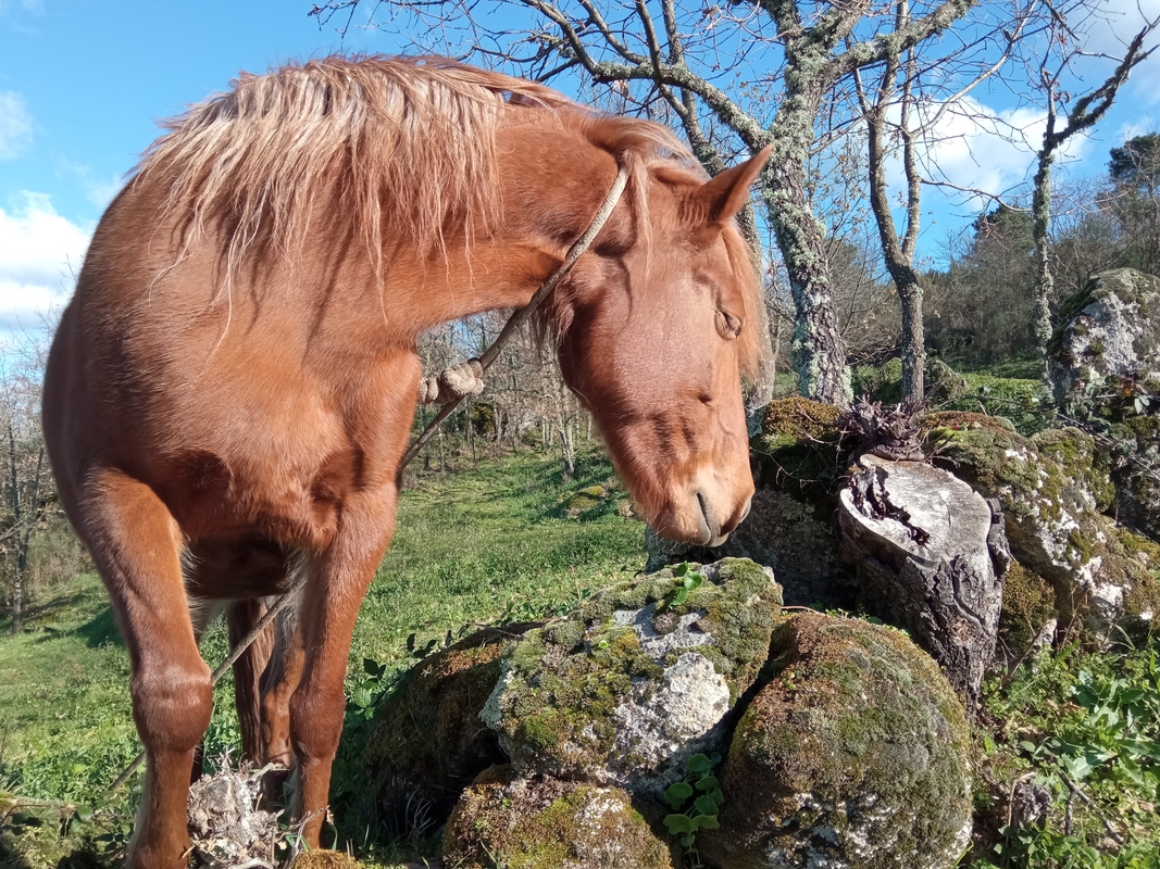
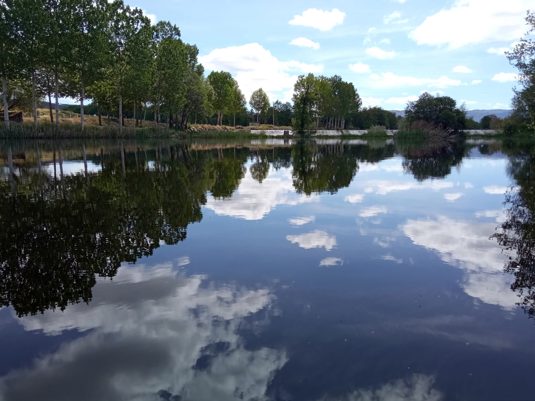
Distance 16.1 km (gpx) , Elevation gain 411 m, Elevation loss 413 m This hike is dedicated to water, its primordial power and ultimate calmness. It's about the roaring sound of hidden waterfalls and the gentle whisper of streams meandering through valleys. Water usually returns to this land in late autumn after a summer drought. In winter riverbeds are full and deep, and currents are strong and fast. They draw their power from the snow-capped mountains of Serra da Estrela. As part of this journey we pass a tiny village of Mourela where an old woman greets us in the street. We always find her lingering at a sunny spot near the porch of her house. Her face is lined with deep wrinkles like the earth thirsty for rain. Her smile is soft and her eyes are shining. When the woman sees us marching with our hiking poles along a cobbled alley, she looks surprised. Very few people get to this place at all, not to mention foreigners. The other day there was a younger local lady there who r...
Hike from Quinta Nova to Celorico da Beira. Portugal

Image
Microadventures are my favorite way of wandering. Recently we were staying on a farm deep in the countryside of central Portugal. One day we needed to go to the nearest town for some urban chores and meet-ups. We had two choices: either wait till our friends could take us there by car or walk eleven kilometers through orchards and fields. We eagerly opted for the latter. In a short while we found ourselves in front of the river — the cold and fast Mondego. When we were there in winter, the current was so strong that it could easily knock us off our feet and carry us into the Atlantic Ocean. Now, in April the snow had already melted in the mountains of Serra da Estrela, Mondego calmed down and didn't look so intimidating. We ventured to cross it over huge boulders that fortunately turned out to be flat but not slippery. After taking a few steps and dipping our feet in chilly water, we joyfully got to the other side. From there, our hike was just pure bliss in the bucolic landscap...

Ascent from Azeitão to Formosinho peak. Arrábida natural park. Portugal

Image
Distance 20.75 km (gpx) , Elevation gain 611 m, Elevation loss 618 m This hike took us into the pristine unspoilt heart of the land of Arrábida. Nature embraced us and showed us her slightly spiky side. The day started with geometrically-lined picturesque vineyards of Azeitão. Stray goats were trimming fancy cypress-tree fences of neat-looking wineries on the way to their pasture. Since we hit the road early, the sun was still low and gentle. Its rays delicately painted in gold the gracefully curved trunks of cork oaks. As we entered the forest, cobwebs were still hanging between the branches on both sides of the route, tickling our skin as we passed. During the ascent to Formosinho we walked up along a river of stones with gravel desperately wobbling under our feet. Closer to the peak the trail turned into a bald steep path on the slope. Our feeling of imminent fall was immediately offset by breathtaking views of hills and valleys painted in all shades of green. As we climbed to ...

Roman well. Mina Romana. Setúbal. Portugal

Image
История одного колодца Терракотовая пыль летит из-под ног. Земля красная, раскаленная под полуденным солнцем. В глазах рябит, колесницы взлетают в небо. Путь дальний, жажда создает миражи. В глубине под землей — спасительный ледяной источник. На темном дне — чистая прозрачная вода. В голове постепенно проясняется, становится тише. Передохну и побреду дальше до широкой реки… Две тысячи лет назад римляне проложили здесь дорогу, а рядом с ней построили колодец. Закрыли его от дождя и листьев арочным сводом из камней. Украсили витиеватыми ракушками из океана. В них и сегодня как будто звучит вечный плеск прибоя. Рядом выросло дерево с плотными листьями, пьющее из того же источника. Оно обнимает древний колодец своими крепкими ветвями. Совсем недавно в жаркие месяцы у него собирались фермеры. Вытягивали ведро с водой и наполняли ею глиняные кружки. Из ручной колонки с шумом вырывалась студеная струя. "Механизм современный, а вода римская", — смеется хозяйка усадьбы. Она и поз...

Hike from Setúbal to Serra do Louro. Trilho dos Moinhos. Portugal

Image
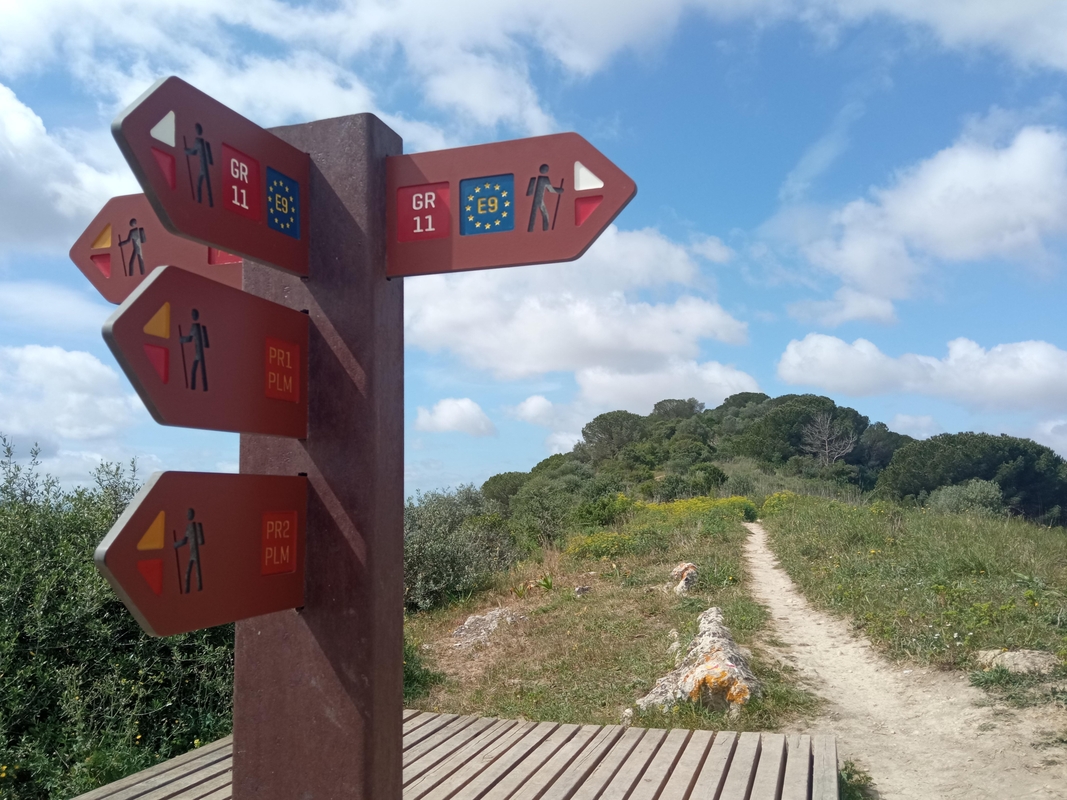
Distance 22.5 km (gpx) , Elevation gain 448 m, Elevation loss 448 m Like the last time , this hike started with the old Roman road. Calçada Romana will probably be the gateway to our weekly nature getaways from Setúbal. We crossed the EN10 road from Grelhal, turned left and stopped at the gate with a formidable warning ”Private property. Keep out". That Saturday we were not the only ones wanting to get in. There were workers with a huge truck waiting for a machine to level the dirt road. You can enter, no problem, they nodded at us. It turned out the gate was not locked, and soon we found ourselves between pine trees following a trail up to the chapel. We quickly realized it was Via Crucis because every turn was marked by a cross with a station number. Now please bear with me while I briefly explain the currently sad state of hiking in Setúbal. As you may know, the city borders the natural park of Arrábida. If you look at the map, the green area to the west is criss-crossed wit...

Hike from Setúbal to São Luís peak. Subida da Vigia. Portugal

Image
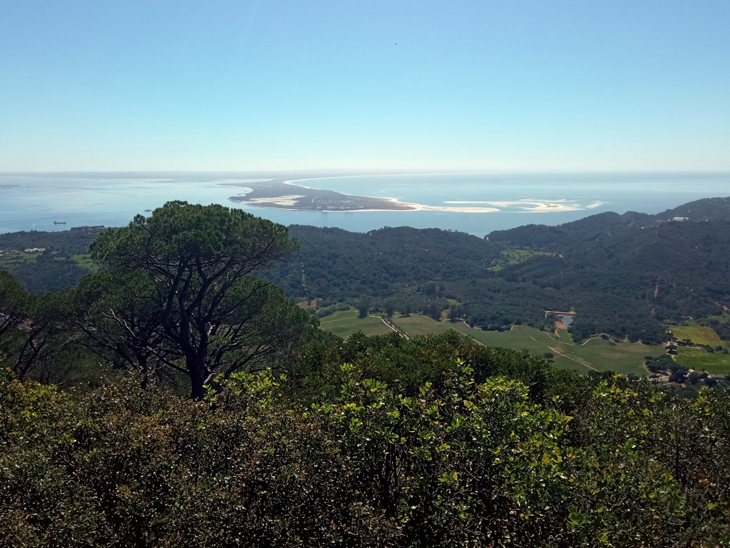
Distance 11 km (gpx) , Elevation gain 492 m, Elevation loss 492 m The Roman road, now called Via Antiga do Viso, used to connect Olissipo (Lisbon) to Cetóbriga (Setúbal). From here the calçada romana continued to Ébora (Évora) heading to the important city of Emérita Augusta (Mérida, in Spain). Our hike to São Luís from Setúbal began with a 300-meter stroll down smooth rocks where horses used to pull wooden chariots 2000 years ago. Spring had already arrived, and tiny wild iris flowers sprinkled violet color between the stones. We crossed to the other side of the EN10 national road, turned left just before the BP gas station and hiked up to what seemed to be an abandoned mine. There you can freely enter the gate and follow the dirt path called Subida da Vigia all the way to the top of the hill (altitude 392 meters). The ascent is quite pleasant and gentle. The higher you get, every turn opens up clear views of Serra do Louro in Palmela or the sandbank of Troia. A scent of blosso...

Necrópole de São Gens. Celorico da Beira. Portugal

Image
This is a place where natural and human history are intertwined in an eternal embrace. Where sculptures carved by wind and rain find reflection in ancient sepultures filled with water. The Romans built an albergue nearby for weary travelers, its mosaics still covered with sand. Parts of an old road remain until today, paved with smooth stones where wooden chariots left deep tracks of time. A huge granite stone magically balances on a flat rock. The locals call it Pedra do Sino — the bell opening towards the sky. If it ever rings, the sound will burst out with a scream of the earth. To me it looks more like a flower that never fades away. Medieval tombs are scattered around mossy boulders. Contemplating the necropolis, I would rather call it peaceful than beautiful. For centuries people came here to bury their loved ones. Nameless graves are a symbol of departing and memory. The memory for everyone we lost in life. It's the place where I find silence and strength.