Hiking the GR221 on Mallorca. From Valdemossa to Pollença
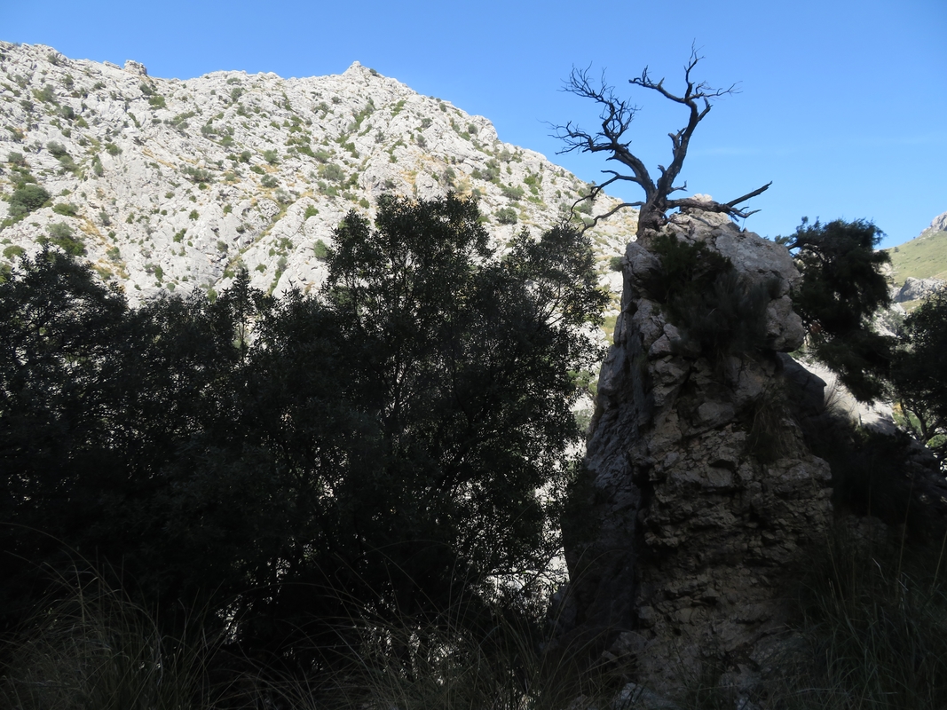
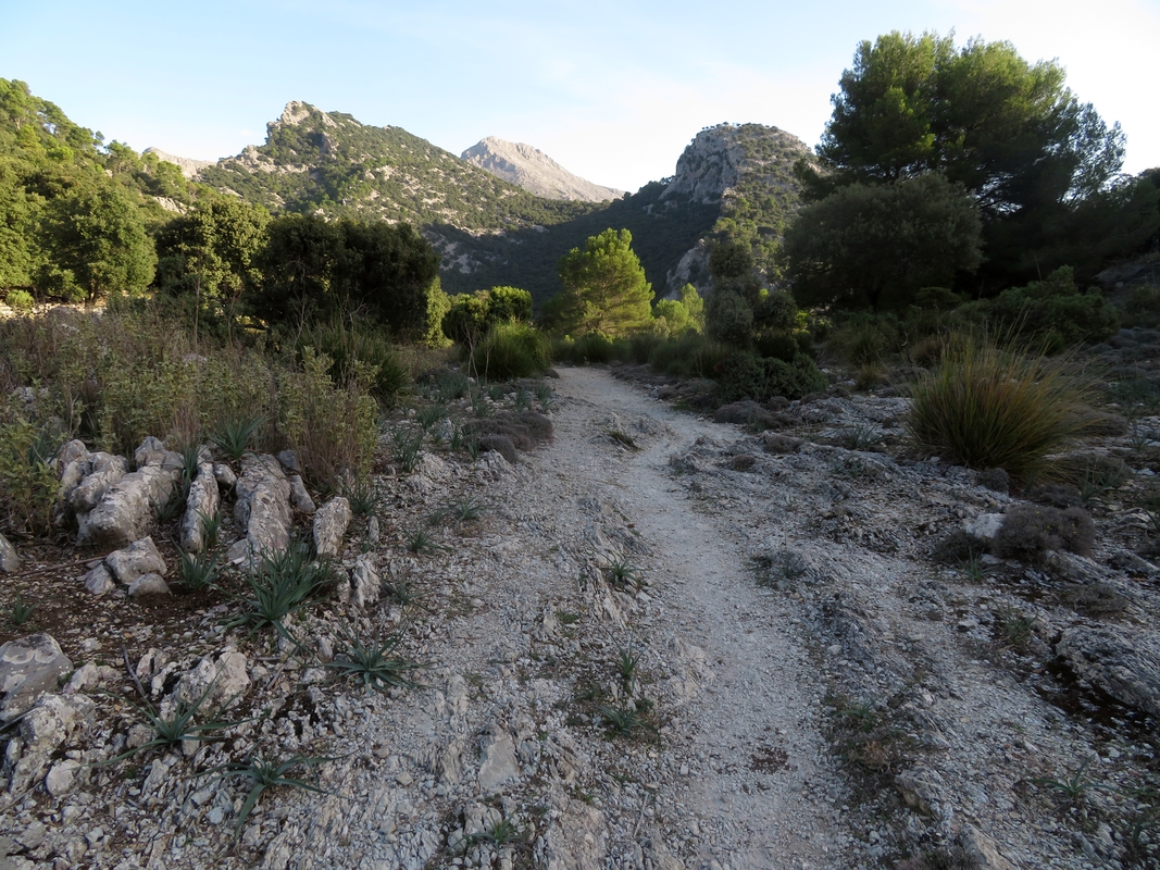
GR221, also known as La Ruta de Pedra en Sec (The Dry Stone Route) winds through the mountains of the Tramuntana ridge on Mallorca. That name comes from the various ancient walls you will encounter on your way which were traditionally built without any cement to bind the stones together. Actually, I would say, you might not even notice the walls due to the amount of rocks you will find under your feet. The route justifies its name on almost every meter of its entire length. It's extremely dry, at least in autumn, so you need to carry a lot of water. Most of the time you will step on stones of different sizes and shapes which will slip, roll and wobble under your hiking boots. So walking poles will save your life on GR221 or, being less dramatic, at least your knees.
We walked from Valdemossa to Pollença at the end of October. Total elevation gain was 3830 m, elevation loss 4127 m, distance 80 km. Here's our itinerary.
Day 1. Palma de Mallorca
Our evening flight from Porto got delayed by an hour and a half and that didn’t leave us enough time to go to Decathlon San Moix. We decided to take the A1 bus (5€, cash only) to the city center and visit Kenia Outdoor store to buy camping gas and hiking poles that we couldn’t take on board a Ryanair flight (or so we thought; more on that later). The cheapest poles they had in stock at Kenia cost 34€ a pair so we had to add those to our growing collection from our other hiking adventures. The only 230-gram canister available was the Primus power gas for low temperatures that cost 6.50€. Considering the weather forecast (around 27°C even up in the mountains) that kind of gas was overkill, but we had no choice.
Having added all this necessary weight to our backpacks, we headed to Mercadona to get the ingredients for dinner we promised to cook for our Trustroots hosts. We stayed with an American-Mallorcan couple who welcomed us in their spacious modern apartment and offered us a separate room with a bathroom. We immediately regretted that we couldn't stay longer than just one night. We had a lively, interesting chat over the shakshuka that we prepared in a traditional Mallorcan clay pot. As always we were excited to share stories and tips with such experienced travelers as our hosts.
Day 2. Valldemossa — Deià
Distance 14 km, Elevation gain 677 m, Elevation loss 910 m
An unpleasant surprise was waiting for us in the morning. It turned out that one of the poles we bought the day before wouldn’t adjust properly. The unofficial start of our trail in Mallorca was meant to be in the sticks (department) in Kenia! The store opened at 10am, so there was a slim chance we could catch the 10:20 bus to Valldemossa. A clerk opened the store three minutes earlier, our hiking poles were rapidly and professionally exchanged and we got to the terminal on time. We boarded bus #203 along with other happy owners of walking sticks and hiking boots. It was Saturday and the locals were heading out of the city. This time we could pay with a contactless bank card (yay! we hate carrying cash). The ride cost us 2.60€ per person.
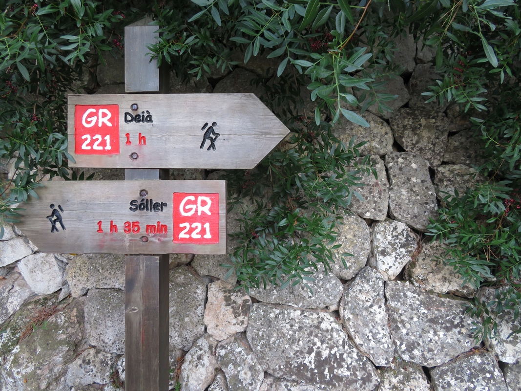
The starting point of the trail in Valldemossa is not obvious at all. We had to ask a local whether we were on the right track to Deià and got a reply that “yes, it’s GR221 but it's not really well marked, so just go straight then turn left, then up, then down and you’ll get there”. Let me give it to you straight though — GR221 is not marked. It’s signposted at some places but those signs are not always helpful. We followed the GPS track that I downloaded to my maps.me app and still had some confusing moments.
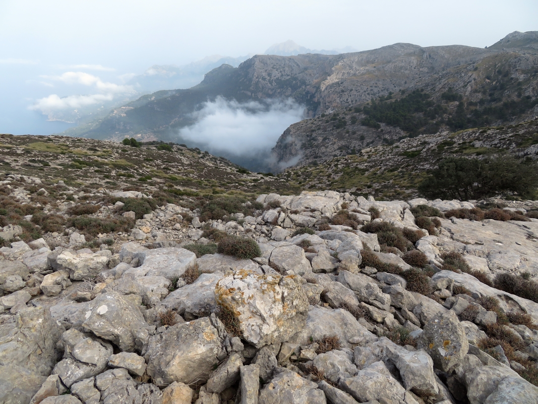
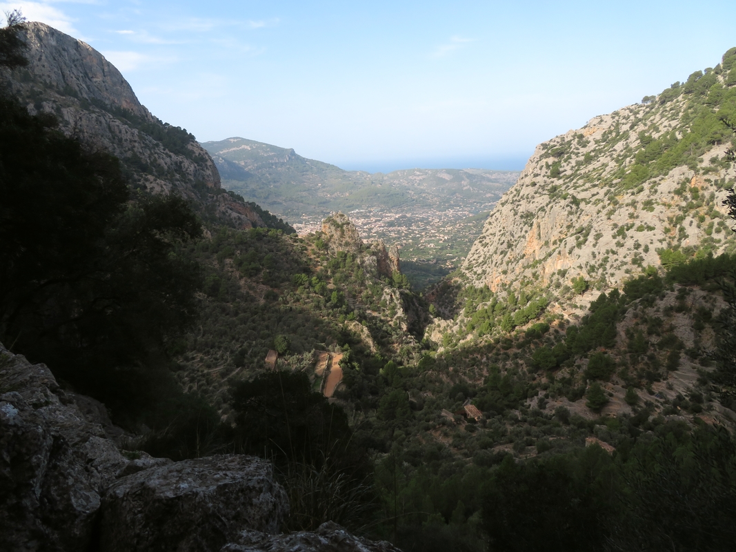
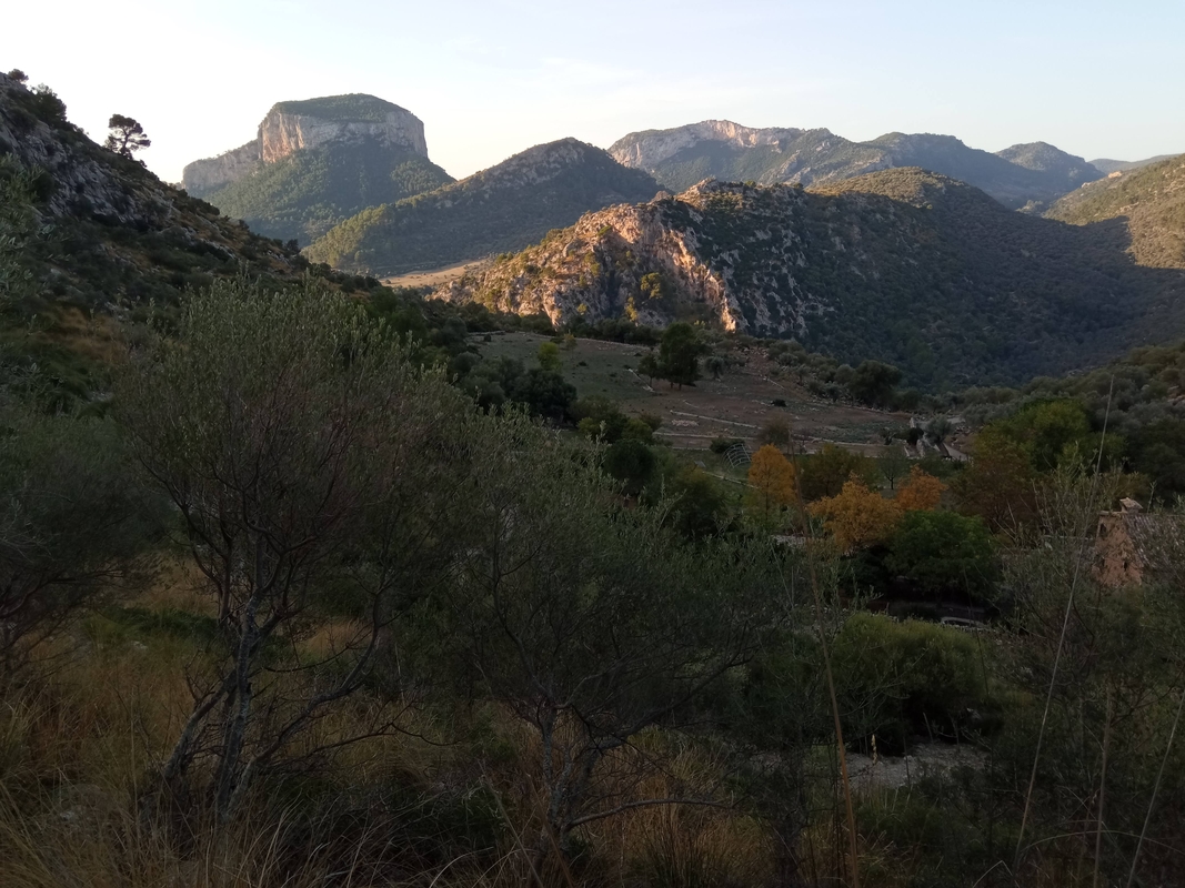
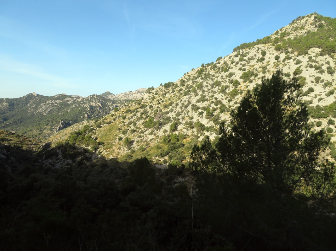
On the way to Deia we met a Swedish hiker who couldn’t find his way because he tried to follow an online map and lost Internet connection. “In Sweden the trails are always marked. It’s easy to find and save people if you know which color they followed”. But we were on a relaxed Mediterranean island of Mallorca just taking a stroll down the GR221, why think about injuries?! The route went zigzagging through the forest and then up onto the ridge. All the springs on the way were completely dry. The Swedish hiker shared with us a small bottle of Powerade water since he was looping back to Valldemossa and had enough beer to stay hydrated (his own words). The long and sweaty descent to Deià was rocky and shaky but we enjoyed the views over the sea in the sunny clearings above the clouds.
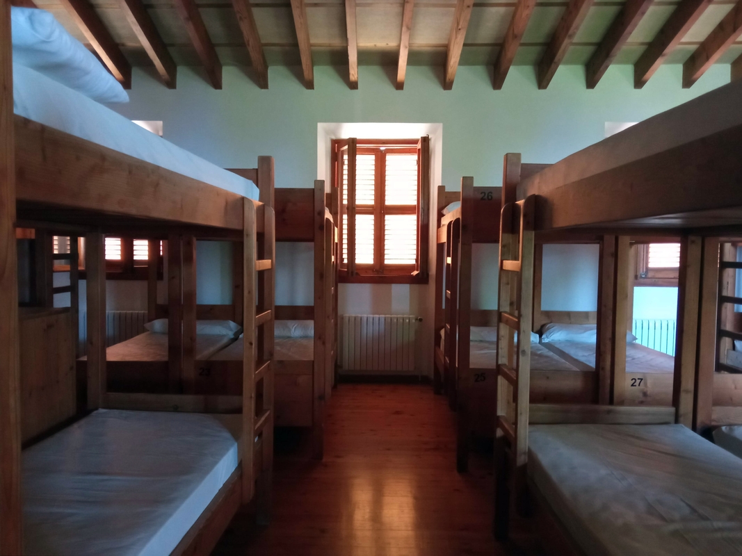
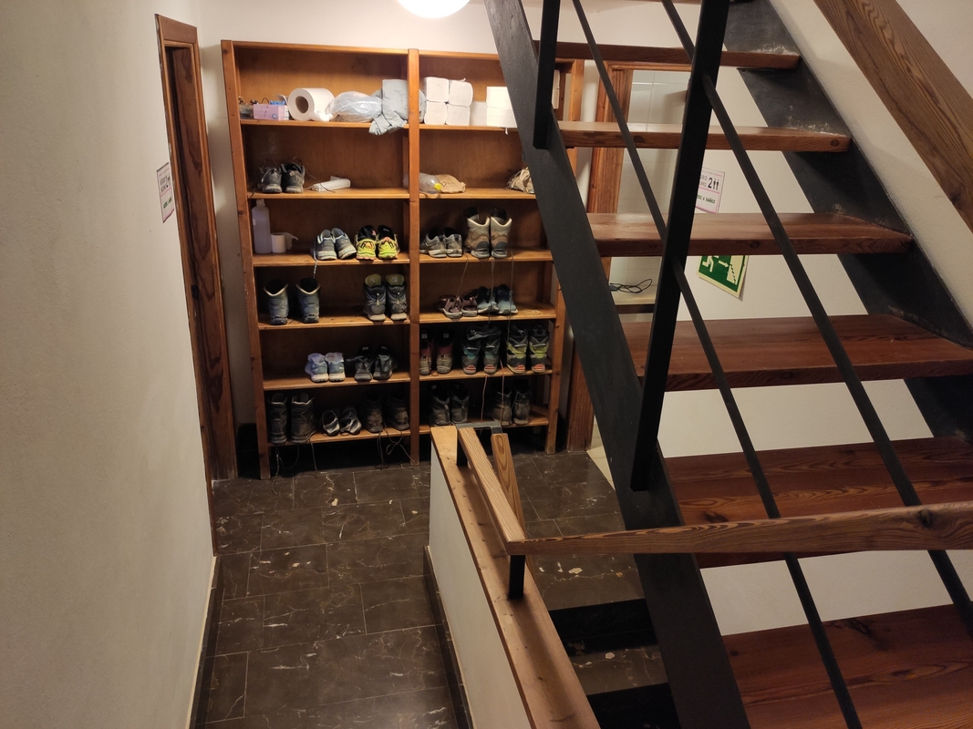
The last kilometer on the stable tarmac road brought us to Refugi Can Boi in a cozy old village of Deià. During the high, supposedly not so hot, season (autumn and spring) these shelters are very popular and you need to make a reservation at least a month in advance here. Since it was Saturday and the refuge is conveniently reachable by car, there were many day trippers and families with kids but the big dorm room with 18 beds was mostly occupied by thru-hikers. We bought some products at a local supermarket which was surprisingly not too expensive for a place overflowing with expats and tourists. Just before sunset we cooked our regular one-pot-meal (couscous with tuna and garlic) outside on our camping stove. Our first hiking day came to an end and Deià plunged into a warm but windy night. The doors to the shelter close at 11 pm.
Day 3. Deià — Muleta
Distance 9.5 km, Elevation gain 462 m, Elevation loss 492 m
That day's hike was expected to be short and easy. We lounged on the terrace until almost 10am, the hour when all guests are supposed to leave the refuge. We ate our usual breakfast of tortillas with paté and hot tea with chocolate. Note that we usually carry and cook all of our food and don’t pay for meals in shelters (or elsewhere, for that matter). All the shelters on GR221 have similarly priced meals: a 9.5-euro dinner (one dish) and a 5.5-euro breakfast (buffet with bread, ham, cheese and marmalade), and you can add these meal options when making a reservation.
We were the last ones to leave the refuge that day. Walking through narrow cobbled streets up to the town center we passed the supermarket which surprised us again: it was open—on Sunday—till 19:30!
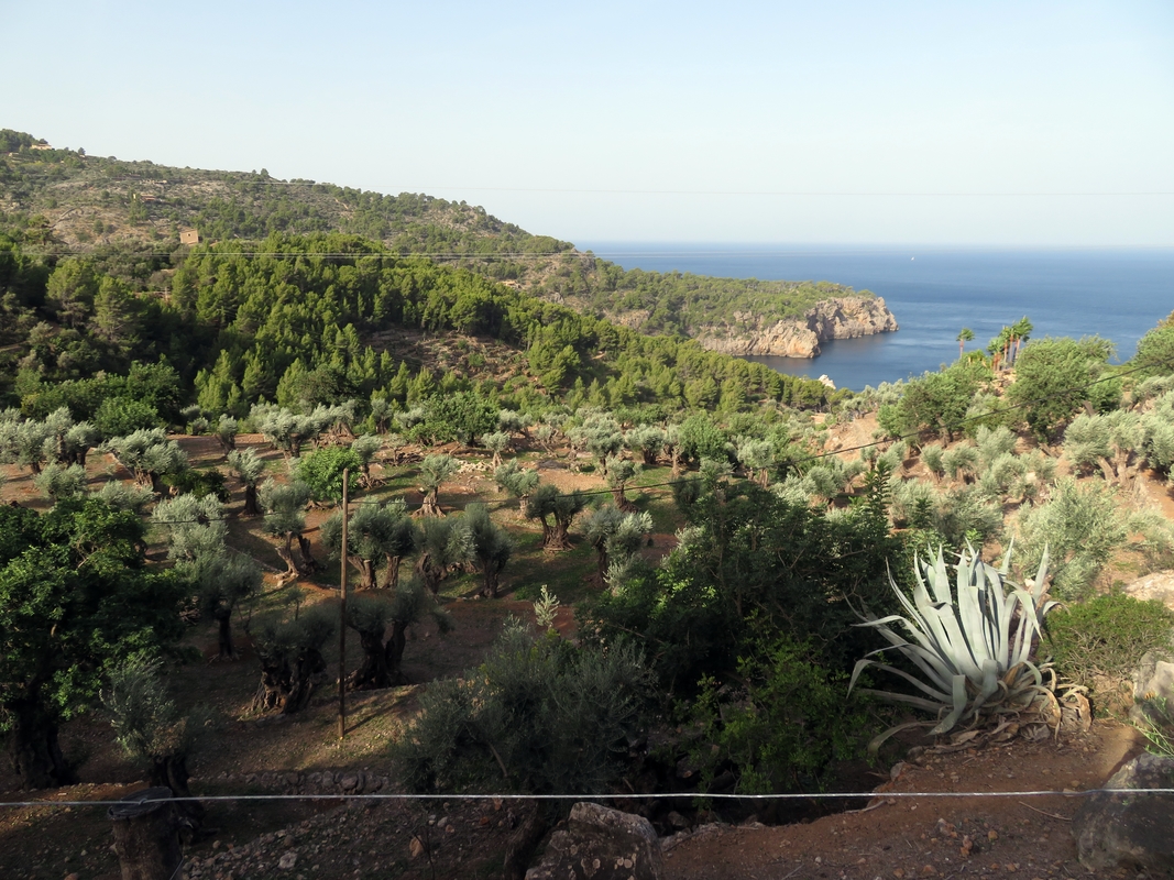
The path was indeed pleasant and mostly shady though the temperature rose to 30 degrees in the sun during the day. Along the way we passed grandiose villas perched on the slope with amazing sea views. The last thirty minutes of descent to Refugi Muleta were as sweaty and uneven as the day before, but we reached the coolness of the stone shelter building soon enough.
The refuge is built on a cliff above the sea with a stunning view, and we bet it’s marked as a great sunset spot in guidebooks. In the evening, just as we were about to finish our gourmet mishmash meal, the place got flooded with tourists. The sunset was nothing short of a disappointment, however. The sun fell into the sea behind thick clouds that covered the horizon. We quickly retreated into the dorm before the mosquitoes could eat us alive. Dinner in all the shelters is served at 8 pm. As the next day was going to be the most challenging of the whole trail (and also my birthday), we decided to order an evening meal in the refuge. At the very least, if I can't decrease my age, I will reduce the weight of my backpack by 250 grams of couscous, I thought. That day I decided to sneak a peek at a grand dinner that awaited us and check what was served to a crowd of hungry hikers. It was quite discouraging: the menu listed only salad and cannelloni with spinach. One of the fellow hikers later told me that she went to sleep on a half empty stomach that night. I quickly checked the reviews for our next shelter and found some that mentioned fish and chicken for dinner. Fingers crossed, we won't starve the next day.
Day 4. Muleta — Llis pass — Tossals Verds
Distance 25 km, Elevation gain 1486 m, Elevation loss 1070 m
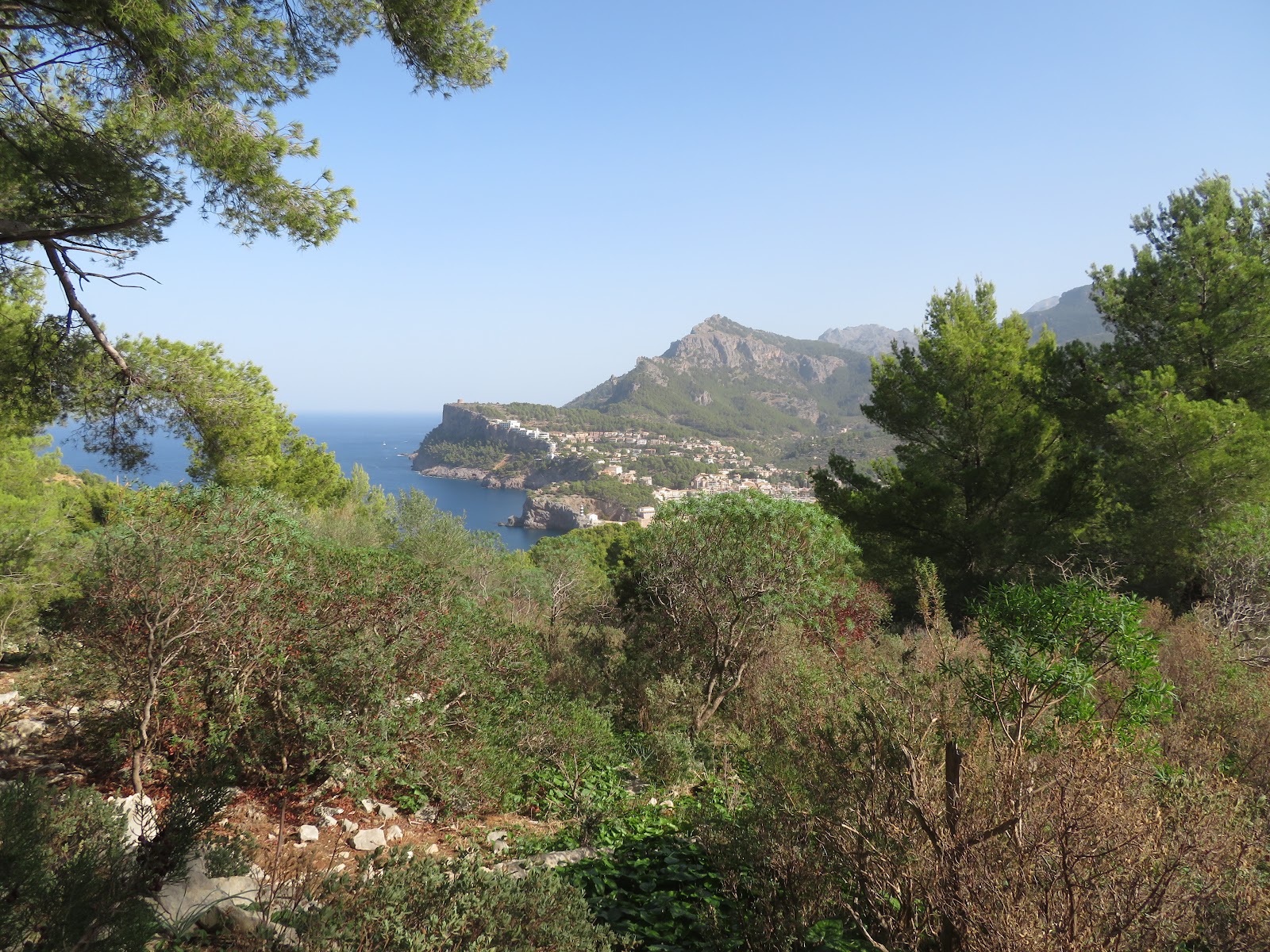
That day we woke up before seven and went out into the darkness of a Mediterranean night with our headlamps on. The lighthouse sprinkled some light on our way as we were walking down to the port. We wanted to get to Soller before 8:30 when the Eroski supermarket opens and have breakfast in a park. The towns of Soller and Biniaraix have many drinking water fountains which are generally scarce on GR221. So at least for the first nine kilometers of this lengthy hiking day you don't need to carry much water.
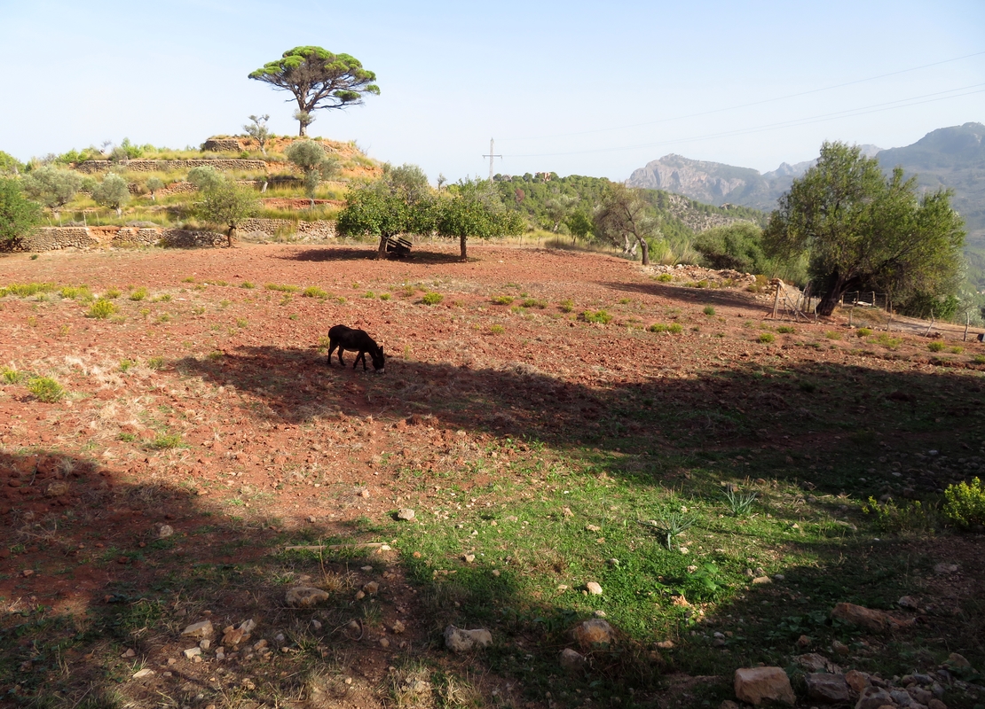
Leaving a flat valley behind, we started a long ascent from Biniaraix early enough, and the mountain giants protected us from the scorching October sun. Throughout the whole way up we stayed in the shade and perhaps that was the reason our climb didn't feel so difficult. The views with high summits, sheer rocks, dramatic drops, deep ravines and green wadis were impressive. The trail continued up through a forest until we got to a flat stretch overlooking the highest peak of the island, Puig Major, and the lake Cúber. From there we leisurely strolled down to the lakeshore. It seemed that the worst was over. We walked, chatting away, imagining a nice cup of tea, a hot shower, and a comfortable bed in the shelter. Friendly curious donkeys that came out on the road to greet us added to the idyllic picture. We kept on walking around the lake wondering why no one swims in this heat. Then we found ourselves at an intersection near the parking lot on the Ma-10 highway. Here we noticed a formidable warning that swimming in the reservoir is forbidden.
From this crossroads there are two paths that lead to Refugi Tossals Verds: a tough one via the Llis pass and an easier but longer one along the Canal dels Embassaments. Both of them were marked on our offline map. However, Maps.me showed us an appealing shortcut on the other side of the gorge which later supposedly connected to GR221. We resolved to try it, and that turned out to be a catastrophic decision!
The route we took continued along the lake till the dam and then descended into a canyon beside a huge water pipe. At some point the path which was already barely visible turned into a river of rocks sometimes covered with leaves. Wild goats and lonely sheep who looked like they owned this rugged place were astonished to meet us there. We walked through the tunnel and then realized that GR221 goes along the opposite slope of the gorge and there’s no trail to cross it (at least we didn’t see a reasonably sane way to get to the other side of the barranco). That’s it, we had to turn back and bother those poor goats again. That’s how an attractive “shortcut” added 5 kilometers of distance and 300 meters of elevation to an already arduous day.
When we got back to the parking lot it was already almost 3 pm and we had run out of water. I asked around and an English family poured us the rest of the lukewarm water from their already opened bottle. We had to settle for little.
From the parking lot we started a steep ascent that we’d hoped to avoid earlier. Again we were climbing in the shade, and it meant that the sun was setting behind the mountains. The last hours of daylight were crucial because we knew we wouldn’t be able to reach the shelter in the dark. We barely overcame the climb only to realize that we were now facing a grueling descent that looked like it would never end. We couldn't get a glimpse of the scenery as we constantly had to worry about where to put our stumbling feet. If you ask us, the terrain in this part of the route was extremely harsh and merciless to our knees. At one of the countless curves we met a group of German day trippers who were hiking up from the refuge. They warned us that the toughest part was still ahead as some tricky climbing was awaiting us at the Llis pass. This didn't sound like an adventure we wanted to embark on at that moment. The messengers also kindly gifted us a drop of salvation: a small plastic bottle with some ice. It felt like a miracle, as if we found a spring in the desert. We wetted our parched throats with icy water and kept on making our way through the arid rocky landscape. Luckily, the Llis pass with chains on vertical walls only looked intimidating. It was short and quite manageable even though our exhausted bodies craved for rest. A neverending blur of ups and downs eventually led us to the refuge just an hour before sunset. As we entered the shelter, our arms and legs were shaking. We couldn’t believe we’d made it safe and sound. I took my boots off and touched cool tiles with my aching feet.
For my birthday dinner we got roasted chicken thighs with potatoes and salad. There were twelve portions for ten people at the table. I took generous seconds. I reckon I deserved it that day.
Day 5. Tossals Verds — Son Amer
Distance 15 km, Elevation gain 930 m, Elevation loss 910 m
After a very good night's sleep we had a relaxed breakfast on the terrace with a backdrop of mountains and a sky painted in sunrise colors. It was going to be another tough day but nothing compared to the day before.
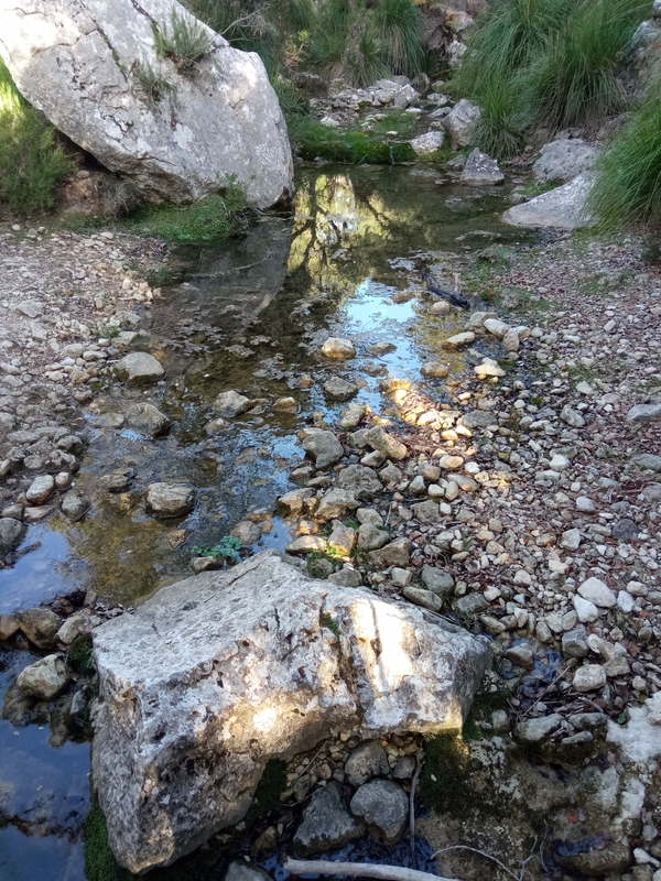
We started with a mild ascent through a forest behind the shelter under a shade of the pine trees. We couldn’t believe our eyes when we encountered the first stream with water on our way. It was such a pure joy and excitement after three days of complete and maddening dryness. The music of flowing, dropping and splattering water!
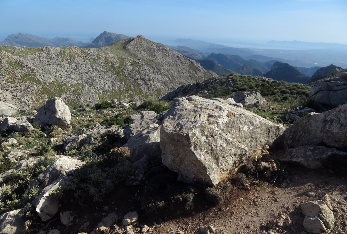
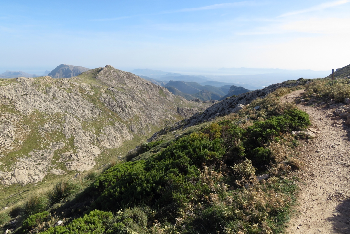
Leaving behind the forest that protected us from heat, we climbed up further on an exposed rocky path under the Puig de Massanella, the second highest peak on the island. We paused at the viewpoint where distant blue mountain ranges met the dark deepness of the Mediterranean. Then we descended on a steep uneven trail to the bottom of a shallow gorge and walked up again on the opposite slope passing Puig d'en Galileu. We stopped for a short break on the edge to relish the view of the mountains embracing the far away sea.
Between us and the refuge there were still seven hundred meters of descent to the bright green valley below. Although a constantly zigzagging route on the map looked a bit scary, in reality it turned out to be an undemanding and tranquil walk.
That day we were the first hikers to check in to Refugi Son Amer and got a dorm room with only six beds. There we spent our last night in the mountains on GR221. The shelter is situated on a high cliff surrounded by Tramuntana peaks with a bird's eye view of Lluc monastery. While preparing our couscous outside, we noticed a wild goat standing motionless on a mirador. It seemed that he, just like us, was enjoying the peace and serenity of nature. A magical moment of silence, a reward that compels us to break out of the routine and venture on these long and challenging hikes!
Day 6. Son Amer — Pollença
Distance 16.5 km, Elevation gain 277 m, Elevation loss 745 m
That was the easiest day on GR221. Nothing spectacular or extraordinary happened. The route started among the peaks of Tramuntana and gradually descended into the valley. The only thing that surprised us was the heat and humidity of the lowland which contrasted sharply with the dryness of the mountain air.
We reached Refugi Pont Roma in Pollença just in time for check-in and got a room with six beds but no roommates. The Roman bridge that gave the shelter its name passes over a dry river bed. Our rocky adventure on La Ruta de Pedra en Sec ended there. The next day we were going to return to the mainland.
Day 7. Pollença - Palma airport
That was supposed to be a rather uneventful day of saying goodbye to the island but we managed to infuse it with a dose of unpredictability and adventure. It started with an awkward moment after breakfast when I approached the shelter workers and asked them to remove metal tips from our hiking poles. Like so much else in Spain, it turned into a lot of laughter and trying out a bunch of instruments, none of which did the job. In the end, one of the younger fellows suggested putting wine corks on the tips to hide them from airport security. We thanked the guys for their creative ideas and walked out of the refuge still hoping to somehow bring the poles back to Portugal in cabin luggage.
The next step was to get from Pollença to Palma. Of course, there are regular buses that connect these two cities, but we never settle for the obvious. Our hitchhiking spirit did not betray us this time either. After forty minutes of standing on the bike lane (39.883289, 3.022910) with our thumbs up, we got picked up by two guys, a Napoletanean and a Paraguayan. Sounds like a setup to a joke, but throughout the whole ride our conversation revolved around rather serious topics like the pandemic and the ongoing war. We learned that in Paraguay during the WWII Russian and German colonies were next to each other and people managed to live peacefully as neighbors.
We got to Palma so quickly and seamlessly that there still was plenty of spare time before our evening flight. For the next couple of hours on that hot sunny afternoon, a park bench became our refuge. Sitting in the shade we carefully planned our next challenge: a hike to the airport. No, GR221 doesn't pass there but "caminante, no hay camino, se hace camino al andar", remember?! The fact that we had to spend the night at Porto airport complicated the task a bit more. We needed to buy food but not carry it all the way from the city center. So the decision was to hike to the sea, walk along the coast and buy groceries in Mercadona not far from the beach.
A bit more than an hour later, we had already left the supermarket with enough food for a sleepover. The airport was still four kilometers away. (It's worth mentioning though that while we managed to reach the departure hall on foot, you probably shouldn't try it unless you are on a very low budget or just don't want to follow a well-trodden path like us. If you prefer to play it safe, just take a bus.)
Here's how we hiked to Palma airport. We walked to the FAN Mallorca Shopping and then followed Cami de Son Fangos. It is a narrow paved two-lane road that runs parallel to the highway. It has sharp turns, no sidewalk and no street lights. As the sun was setting, we had to hurry. Not that it was very dangerous, but at times it became scary because of the traffic. Some drivers honked at us impatiently and pointed to the other side. We asked one of the motorists on a parking lot what was wrong and he said that we were supposed to walk on the right side no matter how curvy the road was. Fortunately further down the road, a sidewalk and even a bike lane appeared unexpectedly. Having passed numerous airline offices, a Park and Fly and a gas station, we ended up in front of the departures entrance. There we joined a crowd of busy passengers who had just got off the bus. None of them could even imagine how we got there!
And if you are still wondering about our loyal companions, the hiking poles, they safely boarded the plane with us. The security didn't pay any heed to them as if it were completely normal to have pointed sticks in the cabin. And that's how a pinch of normality managed to sneak into that crazy day.











Comments
Post a Comment