Hiking the GR131 on Tenerife
Day 0. Santa Cruz de Tenerife
Decathloning
Yesterday we arrived at Tenerife South airport with a Ryanair flight from Lisbon. We took a bus (9.35€) to Santa Cruz and checked in our Airbnb room (20€ per night).
Since Decathlon stores in Portugal ran out of gas stoves and headlights long before our trip, we had to rely on supplies at their Spanish branch on the island.We couldn’t order anything online though because payment options on the checkout page at decathlon.es were inexplicably missing.
First thing this morning we got to the store in La Laguna (the largest of the two stores in Tenerife). And what did we see there? Empty shelves where camping gas stoves used to sit. Our only hope—a lonely Forclaz gas stove with piezo lighter—hung miserably on display. The first assistant we talked to refused to sell it, assuring us that his boss would not allow it. After a short excursion to the hiking department where we luckily grabbed the last two remaining pairs of walking sticks, we returned to the camping section. We were desperate. Our hike was to start tomorrow and the thought of not being able to cook hot food made us shudder. Fortunately, another assistant, Noha, came to save the day. After our brief but emotional portrayal of us freezing to death in the mountains, Noha bravely called his boss who eventually authorized the sale of the last gas stove on display. We finally left Decathlon with hiking sticks, a gas can, a camping stove, and a headlamp. What amazing luck!
Day 1. Las Calderetas to La Caldera
Vanning. Hiking. Camping.
Distance 24 km, Elevation gain 1563 m, Elevation loss 1318 m
Drinking water: Recreational area La Canales, Two water sources before La Caldera camping
We reckoned that walking thirty kilometers from La Esperanza in one day would be too much, so we asked our Irish friend who happened to be on the island with his van to bring us to Las Calderetas camping. This saved us 6 kilometers and made it possible to reach the next campsite before sunset.
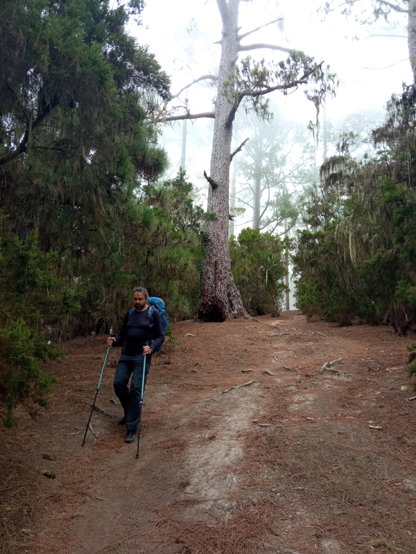
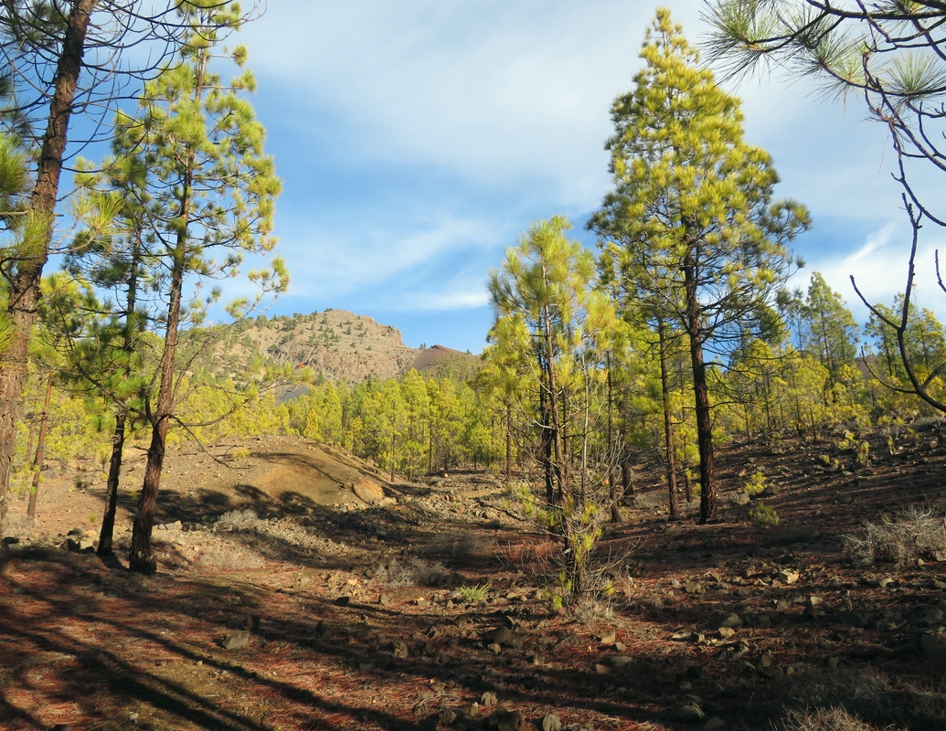
At 8:30 we started walking from Las Calderetas. First, the path took us along the sunny green trail with laurel trees and then it winded through the foggy rain forest with moss hanging from branches like a beard. We made our way between pine trees up the mountain where the ground was covered with a carpet of soft needles.
The descent to La Caldera was steep and tough, but we managed to arrive at the camping ground around 5 pm, just an hour before sunset. There were already quite a few cars and vans there, with weekend trippers pitching their tents. We found a nice leveled ground, put up our tent and went to cook dinner at the recreational area near the bus stop. To our great surprise the water in the multiple taps there was not drinkable but luckily we had enough to cook our couscous and make tea. We had filled our bottles on the trail a few hundred meters before the camping site.
La Caldera camping is free and should be booked in advance here. Although it states that you can stay there only if you’ve got a permit, no one checked if we had it (we did). The camping site doesn’t have any facilities and the nearest source of potable water is 400 meters away through the forest. To our dismay we found the surrounding territory festooned with toilet paper and tissues left by mindless travelers.
Day 2. La Caldera to TF-21 road
Hiking. Hiking. Camping.
Distance 11.5 km, Elevation gain 833 m, Elevation loss 218 m
Drinking water: Two water sources before La Caldera camping and a spring 300 meters away from GR131 (28.334381, -16.544147)
Today we were supposed to hike about 15 km to El Portillo with a total ascent of 1000 meters. We didn’t hurry to leave the camp, had a leisurely breakfast: hot tea and tortillas with chicken paté, then walked back to the water tap to fill our bottles.
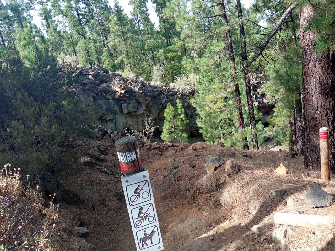
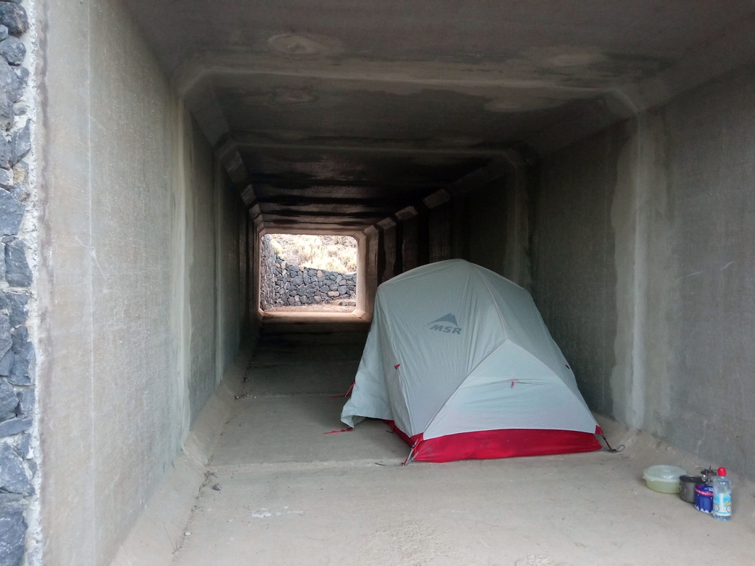
We followed GR131 across the road and descended into the forest behind the bus stop. After a short and easy walk among chestnut trees accompanied by tolling of Sunday church bells we started a constant climb up. The day was sunny and hot, and we drank quite a lot of water. Luckily at one point there was a spring within a 300-meter distance from the trail so we could refill our bottles. The route continued uphill winding through the pine forest with volcanic rock formations that looked like organ pipes. The path crossed a boulder-strewn sandy dry riverbed which could pass for a nice camping spot. After a 800-meter climb we got to the carretera and decided to camp in the underpass. At least, we thought, no-one would disturb us there and the tent would not get wet in the morning.
Before we'd had time to put our daily portion of couscous on the burner, we heard the clatter of hooves echoing from the walls of the concrete passage. Three horses thundered down the tunnel. It was obvious that the men leading the animals never expected a picnic in a place like that. Even less did we expect to see horses on a hikers-only trail.
The choice of a camping spot didn’t seem perfect to us anymore, but we jumped into our sleeping bags right after finishing dinner because it was quickly getting cold. Still awake, we heard a loud bumping noise and someone screaming in Spanish “there’s a room here!”. When I opened the tent there were three mountain bikers standing in the dark. They had bright headlamps and front lights that pierced the darkness of the pitch black forest. I asked them in Spanish whether there were more people coming and one of them said yes. We switched on our headlamps inside the tent and just lay there waiting. I couldn't close my eyes for two hours but more bikers never appeared. The rest of the night was quiet but very cold even in my sleeping bag designed for a comfort temperature of +2℃.
Day 3. TF-21 to El Portillo
Hiking. Hitchhiking. Couchsurfing.
Distance 2 km, Elevation gain 220 m
Drinking water: El Portillo Visitor center
Today we planned to get to Puerto de la Cruz where we were going to stay for four days with a couchsurfing host.
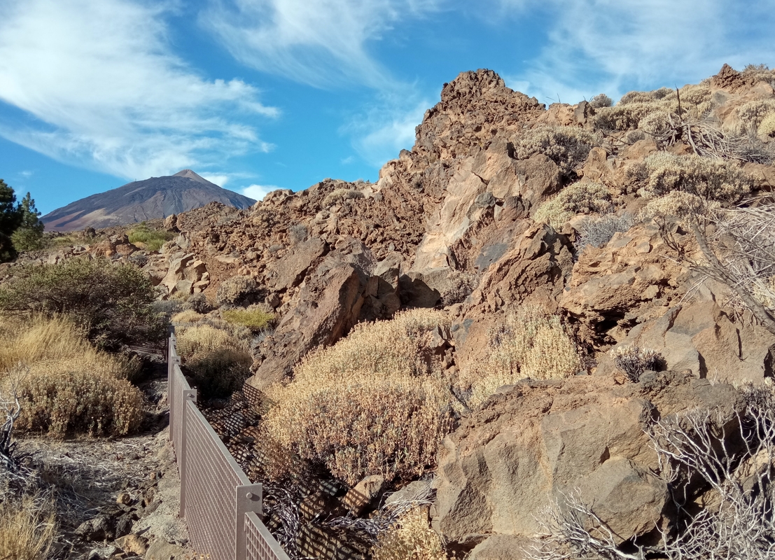
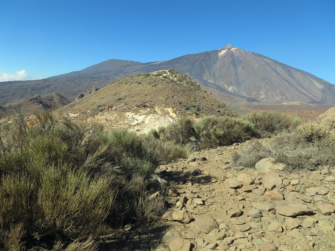
From our campsite in the tunnel we climbed 200 meters to Portillo through the green pine forest. On the top we were greeted by the spectacular Teide volcano rising against the background of a clear blue sky. Soft morning sunshine painted its slopes in gold. We enjoyed the view while we walked towards the border of the National park.
The restaurant in Portillo was closed and we had to walk to the Visitor’s Center to fill our bottles and use the toilet. Then we found a place to hitchhike on the road heading down to Puerto de la Cruz, and after ten minutes a taxi driver stopped and agreed to take us to the town for free. From him we learned that the temperature had dropped almost to zero in the mountains last night.
Having arrived in Puerto de la Cruz before midday we spent a couple of nice warm hours sitting in the Sortija park waiting for our host to get home.
Day 4. El Portillo to Forest above VIlaflor
Hitchhiking. Hiking (and losing GR131). Camping.
Distance 11.5 km, Elevation gain 290 m, Elevation loss 730 m
Drinking water: El Portillo Visitor center, A spring in the water house (28.20369, -16.6180)
After four relaxing days spent on the coast it was time to hit the road again. We had four more nights until our booked accommodation in Arona and we wanted to spend them outside wild-camping. That’s why we divided the next part of our hike into four days. Of course it could have been easily done in three days or even in two.
Yesterday we learned from a fellow hiker that for some reason a yearly mufflon hunt in Teide National Park was still ongoing though the park’s Facebook page said the last shots were fired on October 29. It meant that the GR131 was still being closed every Monday, Wednesday and Friday from 7am till 2pm. Today is Friday and yesterday I didn’t have any luck contacting the visitor’s center and trying to get updated info. And yes, when we got out of the bus in El Portillo at around 10:30 the entrance to the trail was already sealed off with red tape.
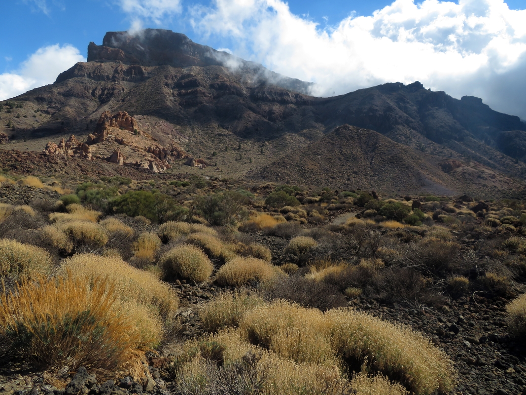
We debated for a while whether to take an alternative route till Teleferico but that would’ve been ten kilometers with almost 500 meters elevation gain. In that case we might not have had enough time in the afternoon to climb down from the peak and would have to camp in the freezing temperatures. So we finally decided to hitchhike to Teleferico, walk along the trail #19 to El Parador and from there get back to GR131 at 2pm when it opens. We were immediately picked up by a kind elderly German tourist who said he had been coming to Tenerife every November for the last ten years. He already knew every corner on that road but still stopped to take pictures out of admiration of the grandiose volcano. He dropped us off at Teleferico from where we walked through the desert landscape in the shadow of the mighty sleeping Teide. Ahead of us, the silhouettes of wind-hewn stone castles loomed in the distance, slowly emerging from the haze.
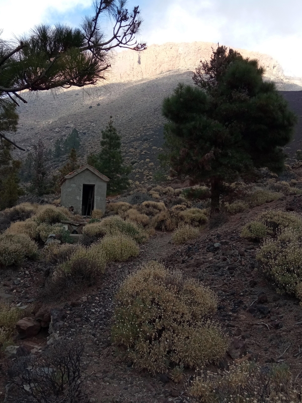
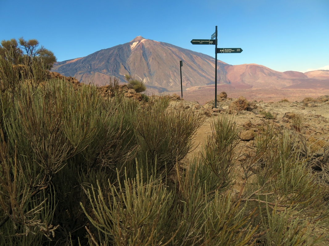
El Parador is an ugly touristy place with swarms of rental cars, vans and buses gathered around it. The toilets in the bar cost €1, so you cannot get free tap water. Luckily, all of our bottles were still full from Puerto. During our lunch on the church stairs, we heard quite a few shots in the mountains which means there really was a hunt going on. At exactly 2 pm the rangers opened the trail and we set off on a new adventure in the lunar landscape of the volcanic desert. After a short walk on flat terrain we found a sign of what we thought was GR131, pointing to Vilaflor. We started a steep climb to 2400 meters—the highest point of the route. The 360-degree views were stunning. Wind, lava and water have been the architects of these sandy structures for millions of years. We got to the top and checked the GPS. All seemed fine, we were on the right track. The trail began to descend into the cloud-covered ravine. In this part of the National park the route was not marked and it was getting narrower and less obvious as we headed deeper into the canyon. I stumbled many times on gravel and slipped on small stones. When the path finally became wider and more visible we saw a small water house with a natural spring. We checked with the GPS again and, yes, we didn’t seem to stray. We still had enough water for dinner and breakfast, so we kept walking in the fog until we finally found ourselves on a much better trail with rocks around the edges. And that was the real GR131! It turned out, all this time from El Parador we were following an “alternative” path that I downloaded from here. That’s why we haven’t seen a single trail mark along the way! But the scenery was still beautiful with a setting sun illuminating the mountain peaks. We found a nice water source but missed the black lunar landscape. Well, at least we saw many of those (and in more varied colors) when we hiked Israeli National Trail three years ago.
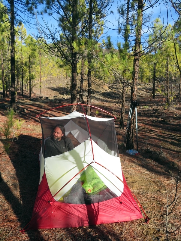
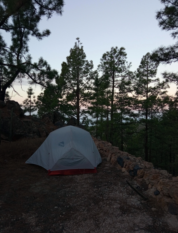
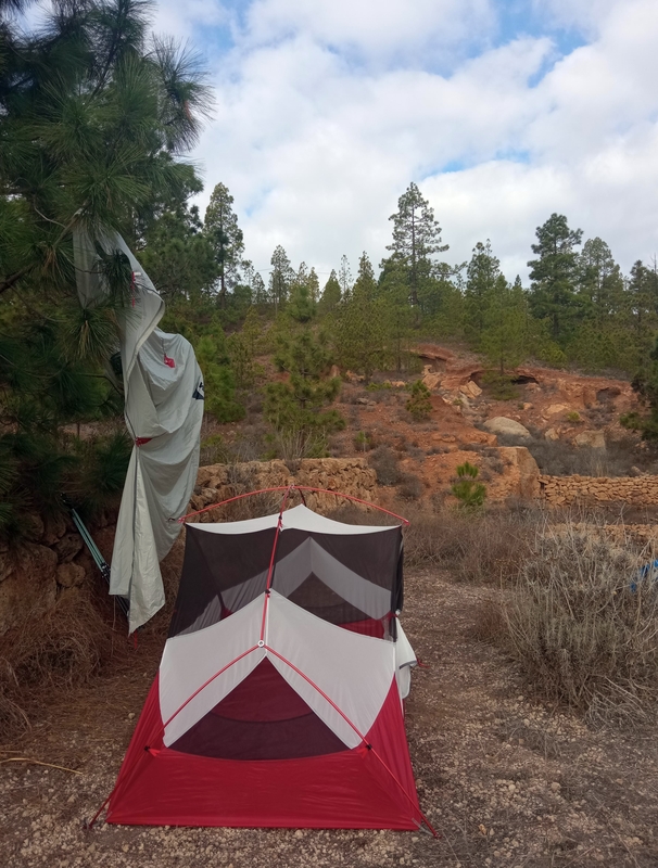
Now following the right trail we descended to 1800 meters and pitched a tent just a few meters away from the path on a cushy blanket of long pine needles. Again, as soon as the sun set we squeezed into our sleeping bags hoping to survive the night without freezing.
Day 5. Forest above Vilaflor to Terrace below Vilaflor
Hiking. Shopping. Camping.
Distance 10 km, Elevation gain 283 m, Elevation loss 799 m
Drinking water: Vilaflor
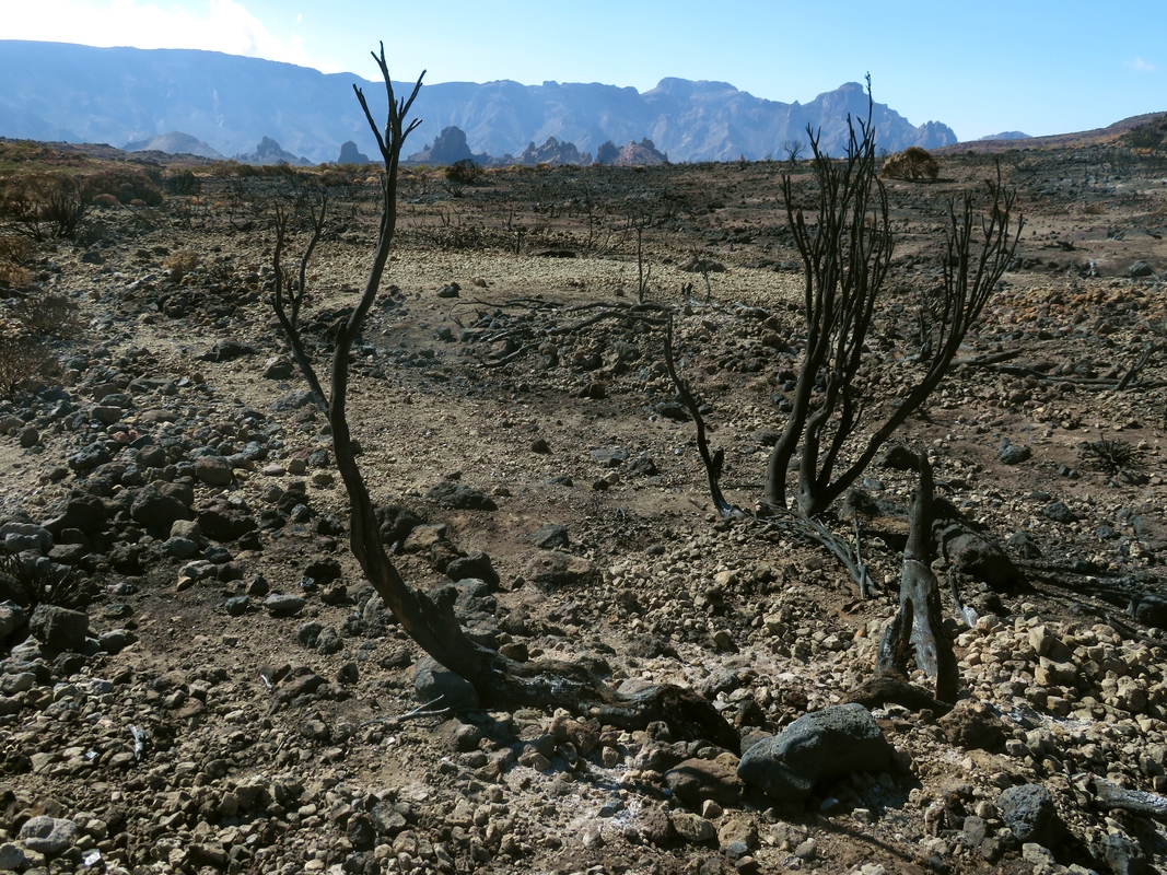
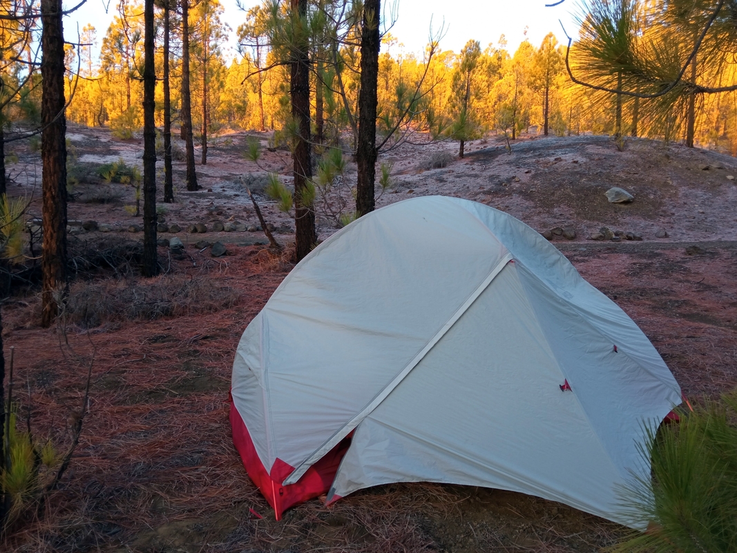
The morning was both white and gold, with frost on the ground and the rising sun caressing the tops of the pines. A few ice drops fell off the tent when we opened it. It took us some time to dry the rain cover, and the early trail runners and day hikers from Vilaflor had already started to appear when we packed up and left the camp. The descent to town was not very difficult. We passed through the forest of pines with burnt trunks but otherwise green and healthy branches. On this part of the route there were a lot of exhausted tourists who were trying to reach the famous lunar landscape 600 meters above Vilaflor. Many of them anxiously asked us whether “Paisaje Lunar” was still far away. And it was!
In Vilaflor we replenished our food supplies at the supermarket—bought sardines, tuna and some fruits, and refilled our bottles from the tap in the bar. The town is literally overflowed by German tourist groups who speak German to everybody and expect you to answer in their language. We decided not to linger and quickly went back to the trail that steeply climbed up along the road. And again the path continued along the pine trees hugging the air with their huge crooked branches.
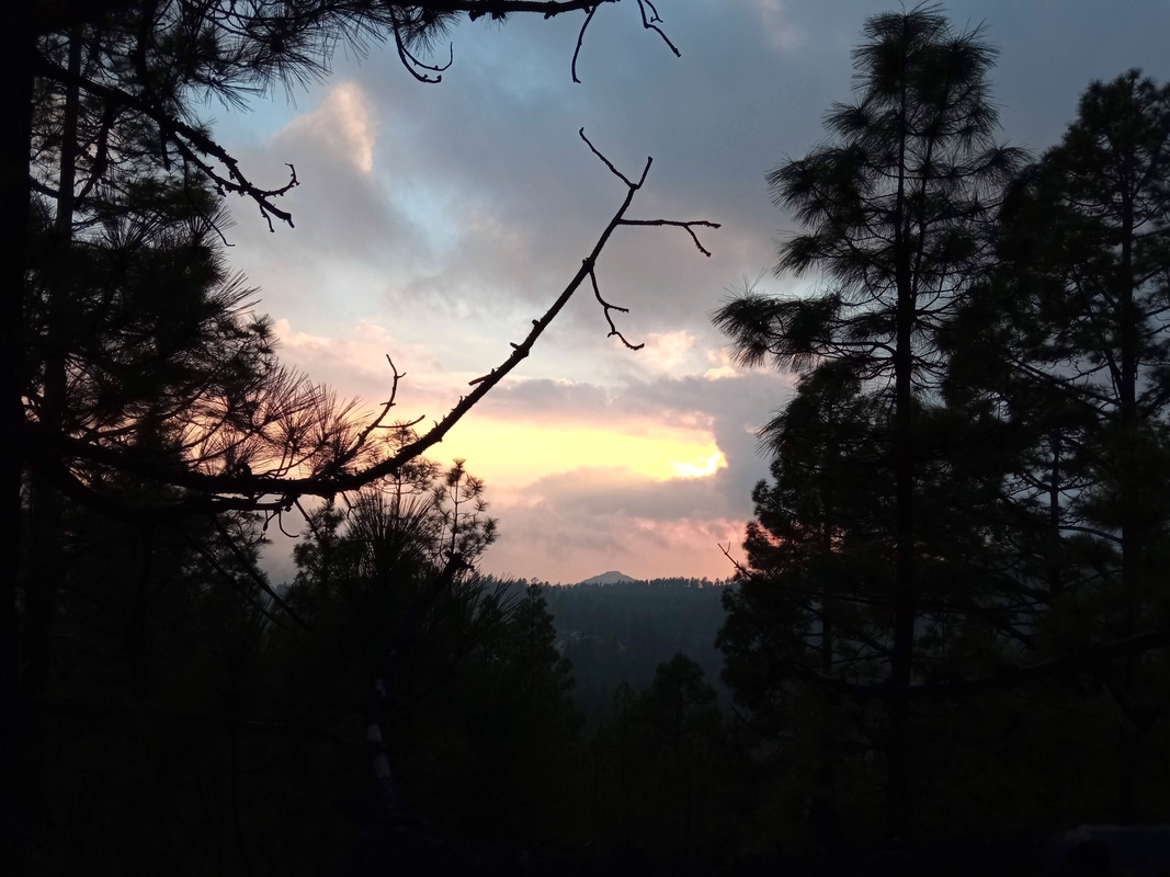
We found a quiet abandoned terrace with a beautiful view and an elevated sunset spot nearby, put up a tent and had an early dinner. Later we watched a spectacular performance of nature. The sun ended its daytime journey in the mouth of a crocodile formed from the clouds. At times walking in nature gives you the feeling of catharsis more than any theatre or cinema.
Day 6. Terrace below Vilaflor to Ifonche
Hiking. Hiking. Camping.
Distance 6.5 km, Elevation gain 197 m, Elevation loss 516 m
Drinking water: Ifonche
The night was warm, but the morning was rather windy. We waited until the sun appeared over the mountains, and had breakfast enjoying its light and warmth. Today we had a very short hiking day in front of us. We only had to go down to Ifonche and camp there for a night before descending to Arona tomorrow to get to the finca that we had booked.
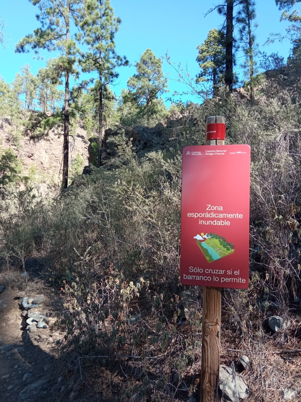
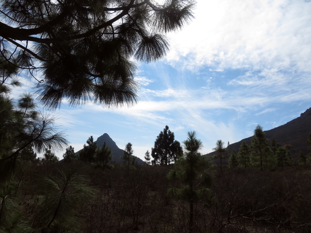
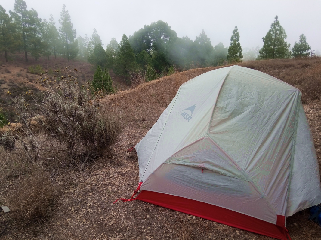
The descent to the village was quite gentle, on the way we crossed a dry riverbed that judging by the nearest sign sometimes gets flooded. In fact, we would not have minded some kind of natural water source because by the time we got to the first houses of Ifonche, our water supply was completely depleted. Luckily, in the very first house we passed, the kind owners let us refill the bottles from the tap in the yard.Then we headed to the forest on the outskirts of the village, found an abandoned terrace with an epic view on Roque Imoque and chilled there until sunset. We were about to put up our tent when the ravine got covered by the white duvet of thick fog. It's like nature has given us shelter and disguise for our last night of wild camping in Tenerife.
Day 7. Ifonche to Arona
Hiking. Hiking. Booking.
Distance 7 km, Elevation gain 40 m, Elevation loss 520 m
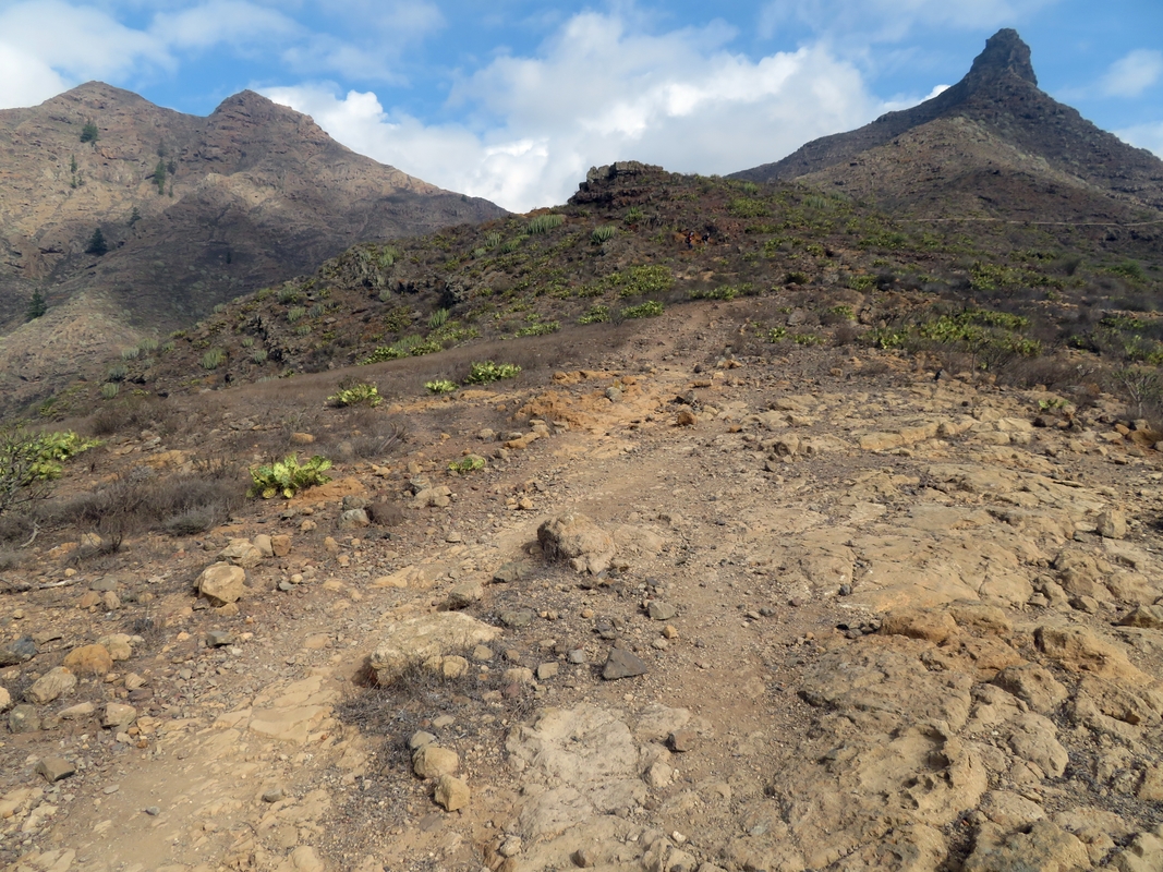
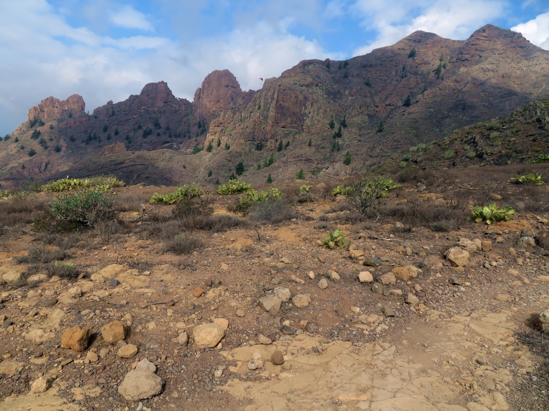
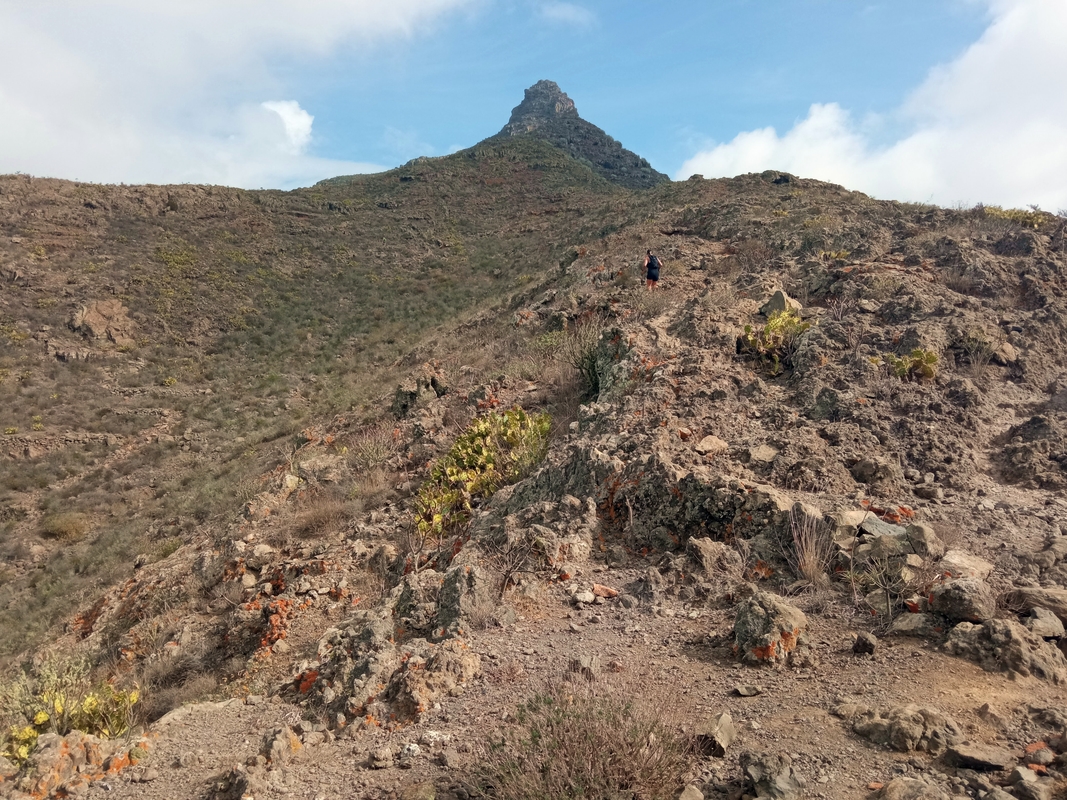
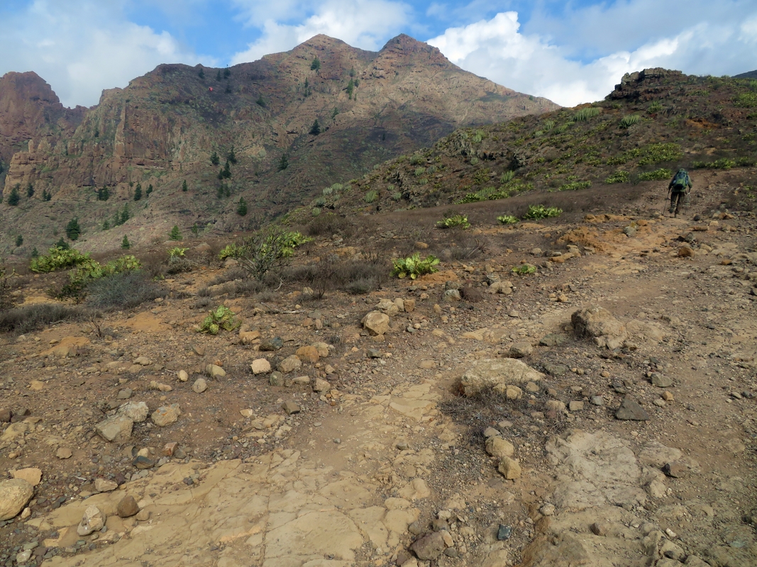
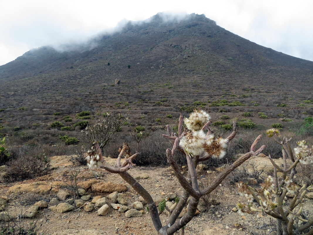
Today we only had seven kilometers to walk to our accommodation in Arona. This short-distance hike proved to be the most difficult of the whole route. I remember that on the Camino de Santiago we always said that the last two kilometers were the most difficult. This time it was similar. The finishing line seemed to be close, but the road felt endless. Also, the descent to Arona is steep, narrow and slippery, but the adversity is compensated by amazing views of Roque Imoque and the surrounding mountains. This final piece of GR131 looks and feels like a desert - dry, hot and bare, with the smell of sand and dust, and cactuses scattered across the slopes. Colorful paragliders flying between the peaks add movement and action to a completely still and quiet landscape. The weather is capricious here, like anywhere on the island. When we reached Arona, white cloud hats were already covering the mountaintops.
On our way to Finca Chimaca where we had made our reservation, we stopped at a supermarket to buy supplies for a festive dinner. The finca was a pleasant surprise—a tastefully restored old country house with a large terrace and a small but comfortable kitchen. It had everything you need for a well-deserved rest after a long hike. We spent a lovely afternoon enjoying the sun and hot tea on the terrace with a magnificent sea view. And then, at the big wooden table in the living room, we had dinner to the sound of the rain—our first rain in Tenerife!








Comments
Post a Comment